
Source: Xinhua
04-20-2009 11:43
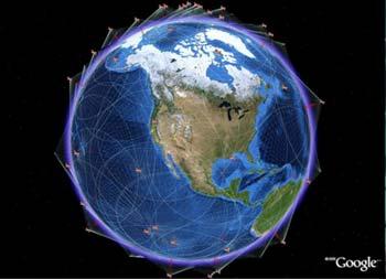
Special Report: Tech MaxBEIJING, April 17 (Xinhua) -- China will be able to provide free global navigation and positioning services by 2020 with its own constellation of satellites named "Compass," an engineering expert said here Friday.
 |
| Global Navigation Satellite System (GNSS) is the standard generic term for satellite navigation systems that provide autonomous geo-spatial positioning with global coverage. |
Compass would cover all of China and its adjacent regions by the end of 2010 or early 2011, and it would expand into a global network by 2020, Cao Chong, chief engineer of the China Electronics Technology Group Corp., told Xinhua.
Cao's statement contradicted earlier reports claiming that China would complete the system before 2015.
Compass could provide civilian clients with positioning accuracy within 10 meters without charge, compared with the 5m to 6m offered by the U.S.-developed Global Positioning System (GPS), Cao said.
However, "the Compass system has its own advantages," he said.
The system would also be used to transmit text messages in remote or maritime areas largely beyond the reach of conventional satellites and provide "authorized services" for military purposes, Cao said.
On Wednesday, China launched its second Compass navigation satellite, about two years after the first Compass module went into orbit.